
WHAT IS GIS?
A geographic information system (GIS) is a framework for gathering, managing, and analyzing data. Rooted in the science of geography, GIS integrates many types of data. It analyzes spatial location and organizes layers of information into visualizations using maps and 3D scenes. With this unique capability, GIS reveals deeper insights into data, such as patterns, relationships, and situations—helping users make smarter decisions.

MAPS
Maps are the geographic container for the data layers and analytics you want to work with. GIS maps are easily shared and embedded in apps, and accessible by virtually everyone, everywhere.
DATA
GIS integrates many different kinds of data layers using spatial location. Most data has a geographic component. GIS data includes imagery, features, and basemaps linked to spreadsheets and tables.
ANALYSIS
Spatial analysis lets you evaluate suitability and capability, estimate and predict, interpret and understand, and much more, lending new perspectives to your insight and decision-making.
APPS
Apps provide focused user experiences for getting work done and bringing GIS to life for everyone. GIS apps work virtually everywhere: on your mobile phones, tablets, in web browsers, and on desktops.
Identify Problems
Use GIS to illuminate issues that are driven by geography. A map of opioid prescription claims can reveal the geographic patterns that emerge when data is well-mapped.
Manage & Respond to Events
GIS delivers real-time situational awareness. A hurricane and cyclone map can show the potential impact to people and businesses, probable track of storms, and storm surge.
Set Priorities
GIS helps to set priorities based on spatial analysis. By analyzing crime patterns, public safety officials can identify target areas and assign officers in those areas.
Monitor Change
If a picture tells a thousand words, a map tells a thousand pictures. A map can reveal the extent of glacier retreat in the Southern Hemisphere.
Perform Forecasting
Use GIS to forecast traffic. A map can highlight challenges at an intersection in Fort Mitchell, Kentucky, where forecasting shows traffic is expected to worsen based on land use changes.
Understand Trends
GIS helps you gain insight into data that might be missed in a spreadsheet. A map can measure job growth or losses in different industries and quantifies local competitive advantage.

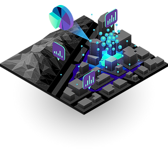
SPATIAL ANALYSIS
Spatial analysis lets you evaluate suitability and capability, estimate and predict, interpret and understand, and much more, lending new perspectives to your insight and decision-making.
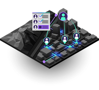
FIELD OPERATIONS
Location is at the heart of field activities. Focused ArcGIS applications can be used stand-alone or in combination to support field workflows and enable office and field personnel to work in unison, using the same authoritative data.

DATA COLLECTION
Maps help you spot spatial patterns in your data so you can make better decisions and take action. Maps also break down barriers and facilitate collaboration. ArcGIS gives you the ability to create, use, and share maps on any device.

3D GIS
3D GIS brings real-world context to your maps and data. Instantly transform your data into smart 3D models and visualizations that help you analyze and solve problems and share ideas and concepts with your team and customer.

IMAGERY SENSING
ArcGIS gives you everything you need to manage and extract answers from imagery and remotely sensed data. It includes imagery tools and workflows for visualization and analysis, and access to the world’s largest imagery collection.
REAL-TIME ANALYTICS
Real-time GIS empowers you with location monitoring of any type of sensor or device — accelerating response times, optimizing safety, and improving operational awareness across all assets and activities, whether in motion or at rest.
